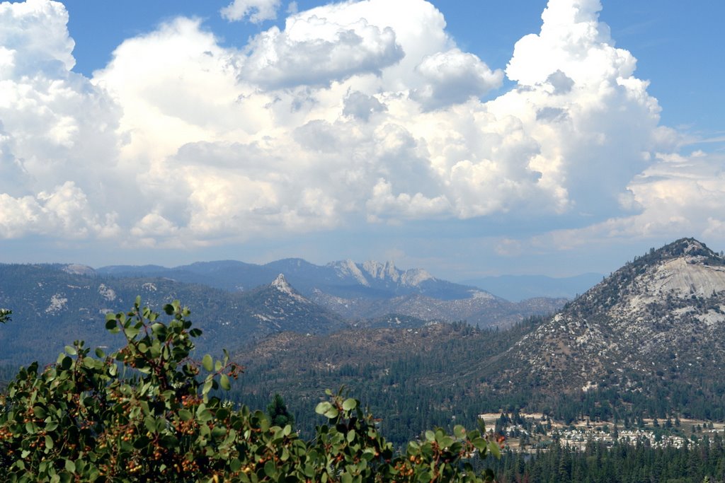
 This view is from NF-22s10, heading toward Johnsondale. The little town of Johnsondale used to be a classic company town; when the logging business folded, Johnsondale turned into the "R Ranch", which basically is a timeshare trailer park around the log pond. If you have Google Earth, you can look at it with this -- let me know if this doesn't work.
Thursday, July 27, 2006
Knob, dome, and needles
This view is from NF-22s10, heading toward Johnsondale. The little town of Johnsondale used to be a classic company town; when the logging business folded, Johnsondale turned into the "R Ranch", which basically is a timeshare trailer park around the log pond. If you have Google Earth, you can look at it with this -- let me know if this doesn't work.
Subscribe to:
Post Comments (Atom)
1 comment:
Hi, was just hiking up this forest road last week. Still a lot of snow in spots. Quite an uphill hike if you start from the end of the road at R-ranch, nice views, but I was trying to get over the Sequoias since the road was closed at Johnsondale. Near the top of the road I found an orange flag marked M50.3 in a clearcut area, any idea what that means?
Thanks for the images.
Post a Comment